What Nobody Tells You Before You Drive From Moab to Denver
Here's what the mapping apps conveniently omit about the Moab to Denver drive: the fastest route they recommend is also the most boring, skipping past some of the best scenery in two states in favor of interstate efficiency, the elevation gain between Moab's 4,000-foot desert floor and the 11,000-foot mountain passes between the two cities is dramatic enough to affect both vehicles and unacclimatized travelers, and the genuinely scenic version of this drive isn't a straight shot at all—it's a route choice that adds hours and detours but converts a transit day into one of the better road trips in the American West.
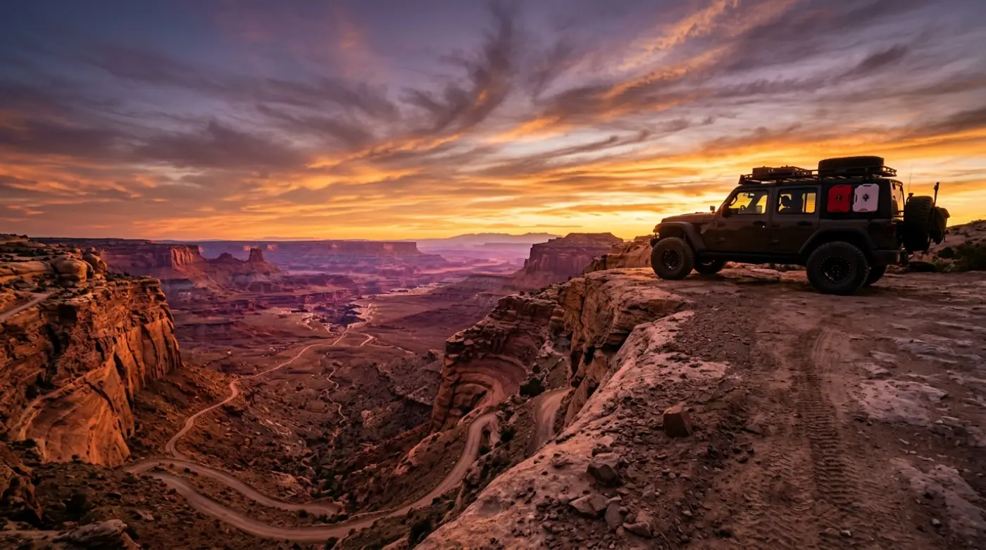
The Moab to Denver drive isn't a commute between two dots on a map. It's a transition from the slickrock canyon country of southeast Utah, across the Colorado state line, through the Western Slope's river valleys and the high country of the Rocky Mountains, and down into the Front Range. The route crosses the Continental Divide, passes within reach of multiple national parks and monuments, and traverses terrain that ranges from red desert to alpine tundra in a single day's driving. Done right, it's a destination in itself.
Hundreds of thousands of travelers make some version of the Moab to Denver drive each year. The ones who get the most out of it—and avoid the white-knuckle weather surprises and "we drove right past it" regrets that interstate-only routing produces—are the ones who arrive understanding their route options and what each one actually delivers.
Moab to Denver at a Glance
The basics: 350 miles via the fast interstate route; 400–500 miles depending on scenic detours and side trips
Drive time: 5–6 hours direct on I-70; 8–10 hours with scenic routing and stops; a full two days to do the route justice
Elevation range: 4,026 feet at Moab to a high point near 11,000+ feet at the Continental Divide, ending at Denver's 5,280 feet
States covered: Utah and Colorado, crossing the state line approximately 30 miles east of Moab
Typical season: Year-round on the interstate; mountain pass detours and high-country side routes are seasonal
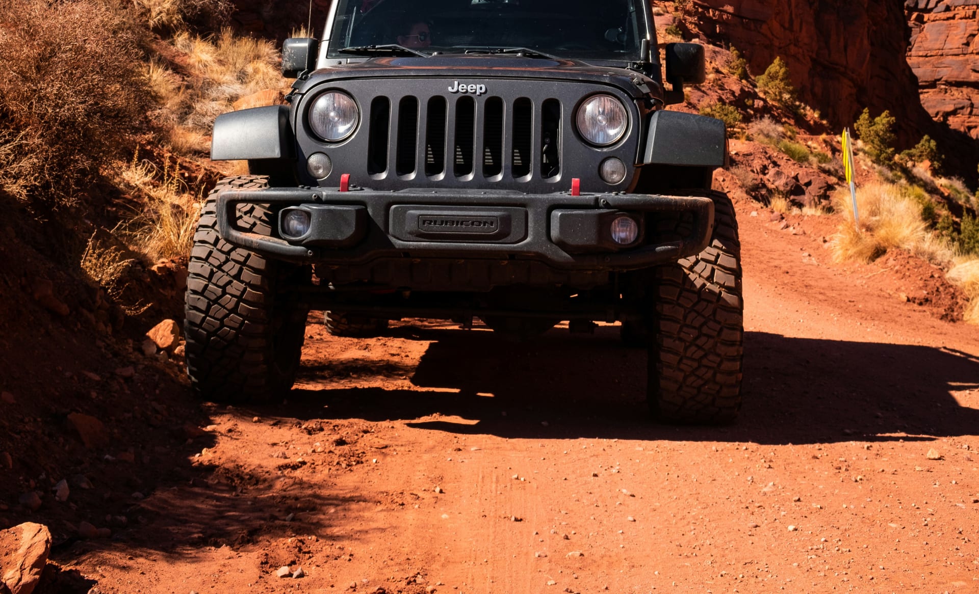
Vehicle requirement: Any vehicle handles the paved interstate route; high-clearance 4WD opens the backcountry detours that make the trip memorable
What it covers:
The Moab to Denver corridor connects Utah's canyon country to Colorado's Front Range through some of the most varied terrain on any drive in the lower 48. The route follows the Colorado River for significant stretches, passes the entrances to Colorado National Monument and reachable side trips to multiple state parks, climbs through the Rocky Mountains via either I-70's engineered grades or the higher mountain passes, and descends into the Denver metro area through the foothills. The drive can be done as a single long day or split across two days with an overnight in Grand Junction, Glenwood Springs, or one of the mountain towns.
Designated status:
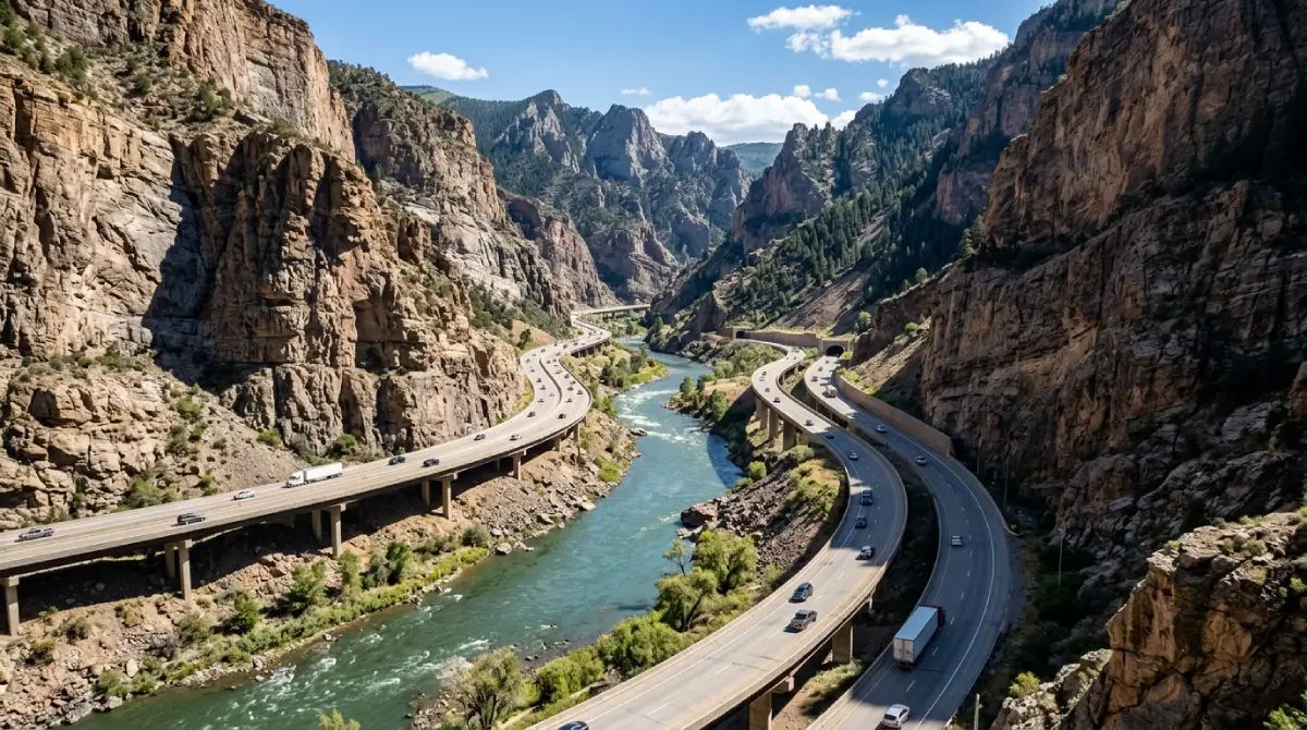
Significant portions of the scenic alternatives to the interstate carry formal Scenic Byway designation, including the Colorado River Headwaters Byway and segments of routes through the Western Slope. I-70 itself through Glenwood Canyon is widely regarded as one of the most scenic stretches of interstate highway in the country—an engineering achievement that threads the highway through a sheer-walled canyon along the Colorado River.
The Fast Route: I-70 Direct
The interstate route is the version most travelers default to and the one the mapping apps recommend without comment. It's genuinely efficient—350 miles of well-maintained, high-speed highway that connects Moab to Denver in 5–6 hours of driving when weather cooperates.
What the route delivers:
From Moab, the route runs north on US-191 to connect with I-70 near Crescent Junction, then heads east across the Utah-Colorado state line. The highway passes Grand Junction, follows the Colorado River through Glenwood Canyon, climbs through the mountains via Vail Pass and the Eisenhower Tunnel under the Continental Divide, and descends through the foothills into the Denver metro area.
The scenic highlights even on the fast route:
Glenwood Canyon is the standout—15 miles of interstate engineered through a narrow canyon with the Colorado River below and sheer rock walls rising on both sides. The Hanging Lake rest area and the canyon's bike path provide reasons to stop even when speed is the priority. The climb through Vail and the descent from the Eisenhower Tunnel both deliver genuine mountain scenery from the comfort of the interstate.
Technical specifics:
The I-70 route is entirely paved and accessible to any vehicle in normal conditions
Winter driving over Vail Pass and through the Eisenhower Tunnel approaches requires genuine caution; chain laws and traction laws are enforced, and the corridor closes during severe storms
The elevation gain is significant but gradual on the engineered interstate grades; naturally aspirated vehicles lose noticeable power on the climbs but handle them without difficulty
Cell service is reliable along most of the I-70 corridor, with intermittent gaps in Glenwood Canyon and the higher mountain sections
The trade-off:
The interstate route is fast, reliable, and genuinely scenic in stretches—but it's also the version that skips the best of what the corridor offers. Colorado National Monument, the Grand Mesa, the river towns of the Western Slope, and the mountain passes that parallel the interstate all sit just off the route the apps recommend.
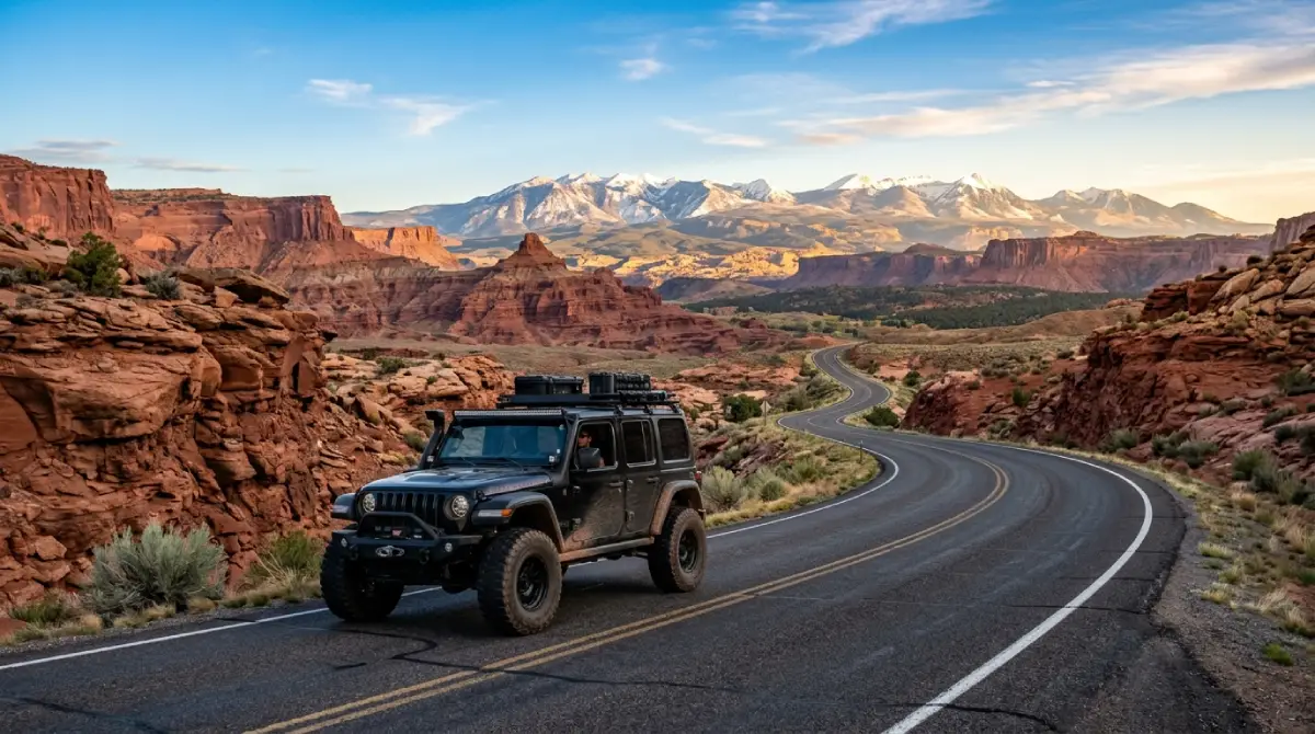
The Scenic Route: Detours Worth the Time
The scenic version of the Moab to Denver drive isn't a single alternate route—it's the interstate corridor with a series of detours added, each one converting a stretch of highway transit into a genuine destination. Travelers with a full day or, better, two days can string these together into one of the better road trips in the West.
What the scenic routing adds:
The scenic version typically begins with a detour to Colorado National Monument outside Grand Junction, continues with options to climb the Grand Mesa or follow the Colorado River Headwaters Byway, and can incorporate mountain town stops in Glenwood Springs, Vail, or Idaho Springs before the final descent into Denver. None of these detours is technically demanding; all of them deliver scenery the interstate skips.
The two-day version:
Splitting the drive across two days transforms it. An overnight in Grand Junction or Glenwood Springs allows a full morning at Colorado National Monument or a soak in Glenwood's hot springs, with the mountain crossing tackled fresh the next day. The two-day version is the difference between a transit slog and a road trip travelers actually remember.
Technical specifics:
Most scenic detours along the Moab to Denver corridor are paved and accessible to any vehicle
Colorado National Monument's Rim Rock Drive is paved but features tunnels, tight curves, and significant exposure; large vehicles and trailers should check size restrictions
Grand Mesa's summit roads are paved but climb to 11,000 feet; the high elevation closes some routes seasonally and weather develops quickly
Backcountry side routes off the scenic corridor require high-clearance 4WD; the canyon and mesa country between Moab and the mountains contains genuine off-road terrain for travelers with the right vehicle
Colorado National Monument: The First Major Stop
The first scenic detour worth building into the Moab to Denver drive sits just outside Grand Junction, roughly 110 miles into the trip. Colorado National Monument preserves a landscape of red rock canyons, sheer walls, and freestanding rock monoliths that rivals anything in Utah's better-known parks.
What the monument delivers:
Colorado National Monument's Rim Rock Drive is a 23-mile paved scenic road that follows the canyon rim with overlooks at regular intervals. The drive passes Independence Monument—a 450-foot freestanding sandstone tower that anchors the monument's most photographed view—and delivers panoramic perspectives across the canyon system toward the Grand Valley and the Book Cliffs beyond.
Why it earns the detour:
The monument adds roughly 1–2 hours to the Moab to Denver drive depending on how many overlooks and short hikes a traveler takes. For a landscape this dramatic that close to the route, the time investment is among the best on the entire corridor. The monument is also significantly less crowded than the Utah parks, making it a genuine alternative for travelers who found Arches and Canyonlands overrun.
Logistics:
Colorado National Monument charges a standard entrance fee; the America the Beautiful pass covers it. The monument has two entrances, allowing travelers to enter near Fruita and exit near Grand Junction, integrating the Rim Rock Drive into the eastbound route without backtracking.
Glenwood Canyon and Glenwood Springs: The Midpoint Anchor
Roughly the midpoint of the Moab to Denver drive, the Glenwood Canyon corridor and the town of Glenwood Springs deliver the trip's most natural overnight stop and one of its scenic highlights regardless of route choice.
The canyon:
Glenwood Canyon is a 12–15 mile stretch where I-70 threads through a sheer-walled canyon alongside the Colorado River. The interstate engineering—elevated viaducts, tunnels, and a route that minimizes its footprint in the canyon—is itself notable, but the canyon scenery is the draw. The Glenwood Canyon Recreation Path parallels the highway and the river, providing a way to experience the canyon outside the vehicle.
Hanging Lake:
The most famous destination in Glenwood Canyon, Hanging Lake is a travertine lake fed by waterfalls that sits in a hanging valley above the canyon floor. Access requires a permit reservation and a steep 1.2-mile hike; travelers planning to include it should reserve well in advance, as the permit system caps daily visitors.
The town:
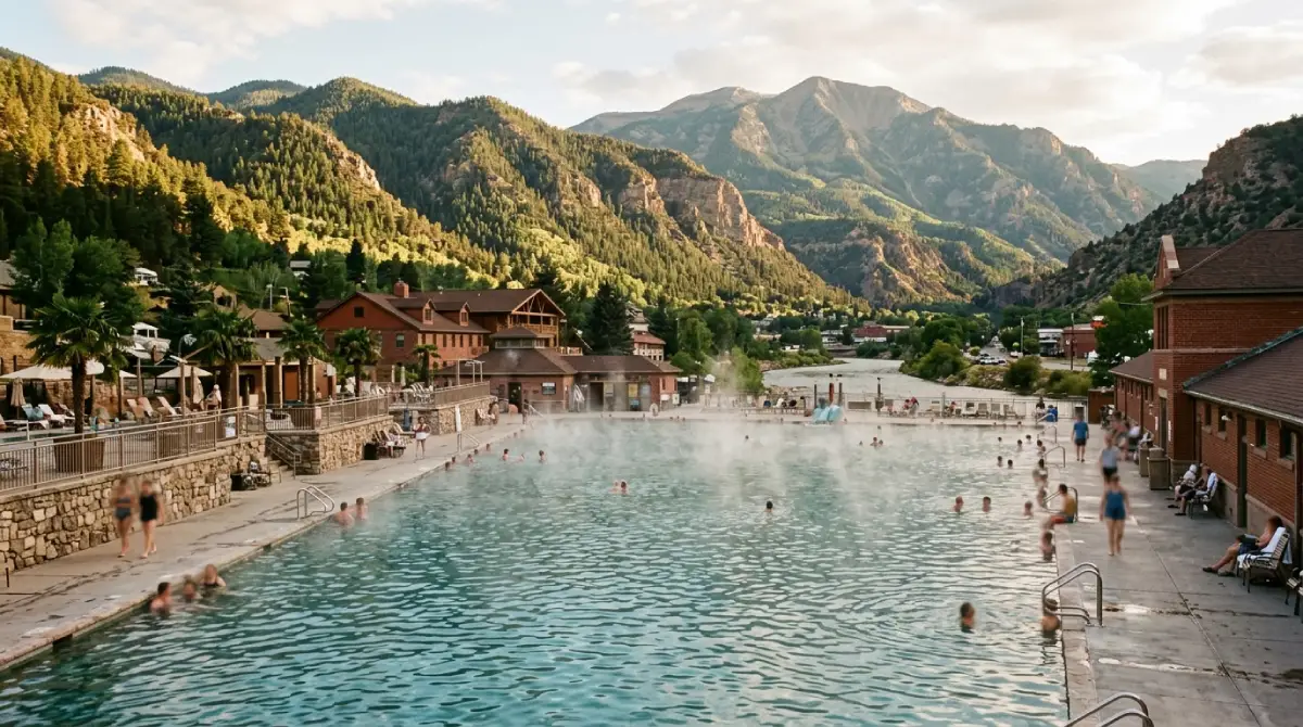
Glenwood Springs itself is built around its hot springs—the Glenwood Hot Springs Pool is among the largest hot springs pools in the world, and the Iron Mountain Hot Springs offers a more contemporary soaking experience. After a half-day of driving, a hot springs soak and an overnight in Glenwood Springs is the natural way to split the Moab to Denver drive into two manageable days.
The Mountain Crossing: Passes, Tunnels, and the Continental Divide
The final major segment of the Moab to Denver drive is the crossing of the Rocky Mountains—the section where the route climbs over or tunnels under the Continental Divide before descending into the Front Range. This is the segment where route choice and weather awareness matter most.
The interstate crossing:
I-70's mountain crossing climbs through Vail and over Vail Pass before reaching the Eisenhower-Johnson Memorial Tunnel, which carries the interstate under the Continental Divide at roughly 11,000 feet. The tunnel is the highest point on the entire interstate highway system and a genuine engineering landmark. The descent from the tunnel through the Front Range foothills delivers the trip's first views of the Denver metro area spread across the plains below.
The scenic pass alternatives:
For travelers with time and the right conditions, the mountain passes that parallel the interstate—routes over Independence Pass toward Aspen, or the high country around Leadville, the highest incorporated city in the United States—offer dramatically more scenic crossings than the interstate tunnel. These routes are seasonal, typically open late May through October, and add significant time to the drive.
Technical specifics:
The I-70 mountain crossing is fully paved and engineered for all vehicles, but winter conditions demand caution, proper tires, and attention to chain and traction laws
The high mountain passes (Independence Pass and similar) close seasonally with snow and are not maintained for winter travel
Afternoon thunderstorms develop quickly above treeline in summer; travelers on the scenic pass routes should plan to clear high points before midafternoon
Altitude affects both travelers and vehicles on the mountain crossing; the elevation change from Moab's desert floor to the 11,000-foot crossing is dramatic enough to cause mild altitude symptoms in sensitive travelers
The trade-off:
The interstate crossing is reliable, fast, and open year-round. The scenic pass alternatives are spectacular but seasonal, slower, and demand more from both vehicle and driver. The right choice depends on season, time available, and how much the trip is about the destination versus the drive.
Planning Your Moab to Denver Drive: Timing, Route, and Honest Preparation
Direction and route decision:
The eastbound Moab to Denver direction works naturally for travelers starting a Colorado trip or returning home to the Front Range. The interstate route is the right choice for travelers prioritizing speed, traveling in winter, or driving in marginal weather. The scenic routing is the right choice for travelers with a full day or two and an interest in the corridor's parks, canyons, and mountain towns.
Timing:
The interstate route is drivable year-round, with winter storms as the primary disruption—the I-70 mountain corridor closes during severe weather, sometimes for hours. Summer delivers the longest daylight and access to the seasonal scenic alternatives but also the heaviest traffic, particularly on summer weekends when the I-70 mountain corridor sees significant congestion. Spring and fall offer the best balance of conditions and lighter traffic.
The two-day question:
The single most impactful planning decision for the Moab to Denver drive is whether to do it in one day or two. The one-day version is achievable and fine for travelers who simply need to get between the cities. The two-day version, with an overnight in Grand Junction or Glenwood Springs, transforms the drive into a road trip and makes the corridor's best stops genuinely accessible rather than rushed.
What to bring:
Layers spanning desert heat to mountain cold; the temperature difference between Moab and the Continental Divide crossing can exceed 40°F in a single day
Plenty of water; the desert start and high-altitude crossing both increase dehydration rates
Winter driving gear (traction devices, emergency kit, warm clothing) for any travel between October and April over the mountain corridor
A full tank leaving Moab and attention to fuel stops; the corridor has reliable services, but the stretches between Western Slope towns and the mountain sections are long
Offline maps for the scenic detours; cell service drops in Glenwood Canyon and the backcountry side routes
A weather check immediately before departure; the I-70 mountain corridor's status can change quickly, and winter closures reroute travelers significantly
Why Cliffhanger for Your Moab to Denver Adventure
The Moab to Denver drive's structural reality is that the interstate version and the scenic version are genuinely different trips—and the scenic version, the one that makes the corridor memorable, rewards the right vehicle. The backcountry side routes off the scenic corridor, the canyon and mesa country that the interstate skips entirely, and the high-country detours all open up with high-clearance 4WD capability that standard rental vehicles can't provide and their contracts prohibit.
Cliffhanger's Moab location is the natural starting point for a Moab to Denver trip done right.
What Cliffhanger's Moab Rubicons provide:
2.5-inch lift with 35-inch aggressive tires: clearance and grip for the backcountry detours off the scenic corridor that stock vehicles and rental SUVs can't handle
Extreme Rubicons with 3.5-inch lift and 39-inch tires: the configuration for the most technical canyon and mesa side routes between Moab and the Colorado mountains
Full skid plate protection: oil pan, transmission, and transfer case coverage that turns rock contact into a non-event rather than a trip-ending damage moment
4LO low-range capability: the actual low-range gearing that any technical side route requires—not the AWD AUTO modes that provide neither the control nor the engine braking that matters on real backcountry terrain
Trail-permission contracts: explicit authorization for the named trails and backcountry routes around Moab, with damage and recovery terms structured around real off-road use rather than excluding it
Multi-location flexibility: with Cliffhanger locations across Colorado, a Moab to Denver trip can integrate vehicle pickup and return logistics that support the full corridor
The Moab to Denver drive is one of the more underrated road trips in the American West. It rewards proper preparation with canyon country, river valleys, mountain passes, and the Continental Divide crossing that few transit routes anywhere can match. It also leaves travelers who treat it as a simple interstate slog wondering what all the scenery off the highway actually held.
Cliffhanger exists to make sure your trip falls in the first category.
Ready to drive from Moab to Denver in a vehicle built for every detour worth taking? Contact Cliffhanger Jeep Rentals in Moab and let's put together the configuration that makes the drive what it's supposed to be.